
Enhanced Airport Diagrams: Sketches, Runways, and Satellite Views
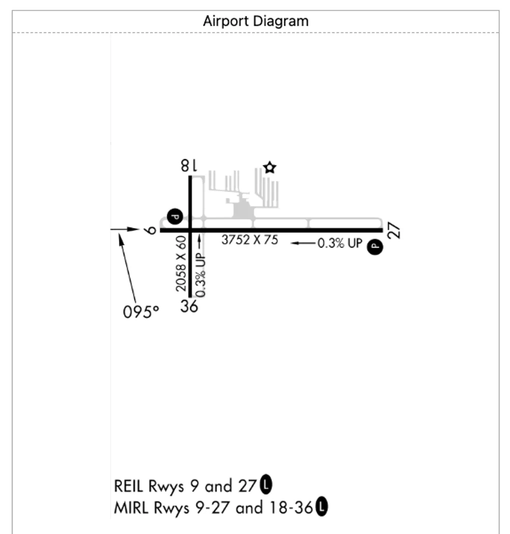
In our latest update to GA Kneeboard, we have significantly expanded our support for airport diagrams. This update ensures pilots have access to runway configurations and airport layouts even when operating at smaller fields that lack official FAA Airport Diagrams.
Visualizing Smaller Airports
While larger airports have dedicated, multi-page PDF Airport Diagrams, many smaller public and private fields do not. To solve this, we’ve introduced three new types of fallback diagrams:
- Airport Sketches: We now leverage simplified airport sketches extracted from the bottom or top of Instrument Approach Procedure (IAP) charts.
- Simplified Runway Diagrams: We’ve implemented a new server-side diagram generator that uses OpenStreetMap (OSM) data to automatically generate clean, simplified runway diagrams for airports.
- Augmented Satellite Imagery: For even more context, our custom renderer can combine runway geometry data with satellite imagery to provide an augmented, real-world view of the airport layout.
A Smarter UI
GA Kneeboard’s interface has been updated to seamlessly handle these new diagram variants:
- Smart UI Labels & Modes: When you load an airport, the interface checks for available assets. If a formal diagram is missing, the button automatically updates to display the best available alternative, and lets you toggle between Sketch, Runway, and Satellite views.
- Direct Image Rendering: Since these new variants are stored as image assets, the Diagram component renders them directly using a standard image element rather than loading a PDF through the canvas renderer.
- Streamlined Controls: PDF-specific controls, such as page navigation and external link buttons, are automatically hidden when viewing image-based diagrams to keep the UI clean.
Improving Cockpit Utility
This fallback mechanism provides pilots with immediate airport layout awareness during pre-flight planning and taxiing at smaller airfields. By integrating sketches, generated runway layouts, and augmented satellite images directly into the existing Diagram view, pilots can maintain maximum situational awareness without missing a beat.
